Data
- Obtaining
- Supplying
- High-Frequency
- Bottom Pressure Records
- Other Long Records
- GLOSS/ODINAFRICA Calibration Data
Donate
Donate to PSMSL
Data Notes
- Individual Station Data and Plot Notes
- Referencing the Data Set
- PSMSL Help File
- 2010 Changes to the PSMSL Data Files
Extracted from Database
06 Apr 2026
Station Information
| Station ID: | 557 |
| Latitude: | 15.833333 |
| Longitude: | -87.95 |
| Coastline code: | 908 |
| Station code: | 31 |
| Country: | HONDURAS |
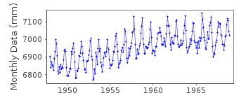
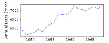
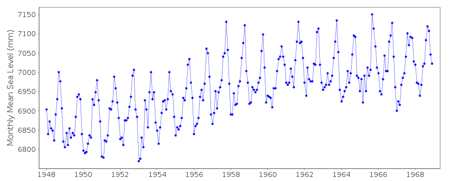
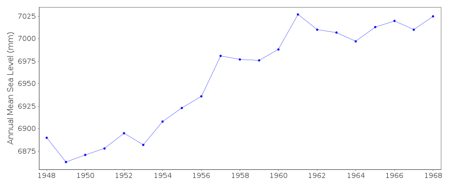
| Time span of data: | 1948 – 1968 |
| Completeness (%): | 100 |
| Date of last update: | 01 Jan 1980 |
| Green Arrow: | Current Station |
| Yellow Marker: | Neighbouring RLR Station |
| Red Marker: | Neighbouring Metric Station |
Please note: In many cases, the station position in our database is accurate to only one minute. Thus, the tide gauge may not appear to be on the coast.
Tide Gauge Data
Additional Data Sources (guide to additional data sources)
Research Quality Data from UHSLC station 780: hourly and dailyStation Documentation
Link to RLR information.Documentation added 1991-06-11
Puerto Cortes 908/031 RLR(1964) is 8.4m below BM2Documentation added 1993-07-12
Different trends pre- and post-1960 approximately.Documentation added 2012-01-26
Station is now historic last data received was for 1968. Although it is still mentioned on the NOAA website there is no longer any supporting benchmark information available. Station has been labelled 'inactive'. Station was previously flagged the station flag has now been removed.Data Authority
N.O.A.A. / N.O.S.N/oes33, Ssmc4, Room 6531
1305 East-West Highway
Silver Spring,
MD 20910

![]()
![]()
![]()
