Data
- Obtaining
- Supplying
- High-Frequency
- Bottom Pressure Records
- Other Long Records
- GLOSS/ODINAFRICA Calibration Data
Donate
Donate to PSMSL
Data Notes
- Individual Station Data and Plot Notes
- Referencing the Data Set
- PSMSL Help File
- 2010 Changes to the PSMSL Data Files
Extracted from Database
20 Jul 2026
Station Information
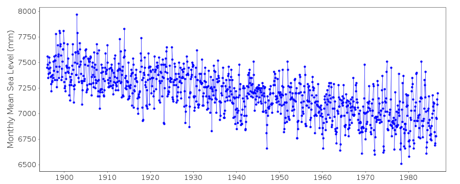
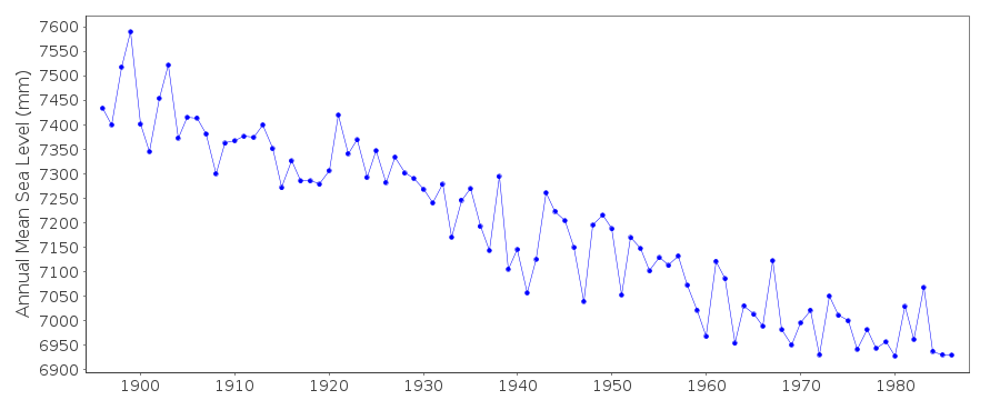
| Station ID: | 99 |
| Latitude: | 60.683333 |
| Longitude: | 17.166667 |
| Coastline code: | 50 |
| Station code: | 171 |
| Country: | SWEDEN |
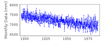
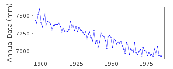
| Time span of data: | 1896 – 1986 |
| Completeness (%): | 100 |
| Date of last update: | 06 Nov 1991 |
| Green Arrow: | Current Station |
| Yellow Marker: | Neighbouring RLR Station |
| Red Marker: | Neighbouring Metric Station |
Please note: In many cases, the station position in our database is accurate to only one minute. Thus, the tide gauge may not appear to be on the coast.
Tide Gauge Data
Additional Data Sources (guide to additional data sources)
Nearby GNSS Stations from SONEL: 4GAV, 1GAT, MAR6, MAR7, 5GAVStation Documentation
Link to RLR information.Documentation - date unknown
1896 - 1936 MSL values based upon integration of continuous record1937 - 1961 Values based on 24 readings a day
Documentation added 1991-06-11
Nedre Gavle 050/171 RLR(1964) is 10.0m below BM No fix 451Nedre Gavle is an historic station last data 1986
Data Authority
Swedish Met. and Hyd. InstituteBox 923
S601 76 Norrkoping

![]()
![]()
![]()
