Data
- Obtaining
- Supplying
- High-Frequency
- Bottom Pressure Records
- Other Long Records
- GLOSS/ODINAFRICA Calibration Data
Donate
Donate to PSMSL
Data Notes
- Individual Station Data and Plot Notes
- Referencing the Data Set
- PSMSL Help File
- 2010 Changes to the PSMSL Data Files
Extracted from Database
13 Jul 2026
WARNING: QCFLAG EXISTS. PLEASE READ THE DOCUMENTATION.
Station Information
| Station ID: | 920 |
| Latitude: | 29.705 |
| Longitude: | -93.853333 |
| Coastline code: | 940 |
| Station code: | 9 |
| Country: | UNITED STATES |
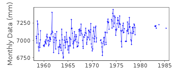
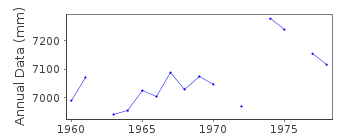
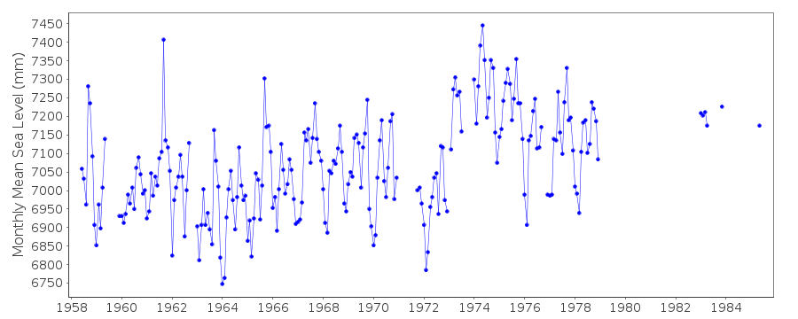
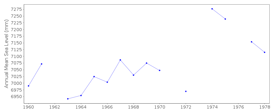
| Time span of data: | 1958 – 1985 |
| Completeness (%): | 68 |
| Date of last update: | 04 Nov 1988 |
| Green Arrow: | Current Station |
| Yellow Marker: | Neighbouring RLR Station |
| Red Marker: | Neighbouring Metric Station |
Please note: In many cases, the station position in our database is accurate to only one minute. Thus, the tide gauge may not appear to be on the coast.
Tide Gauge Data
Additional Data Sources (guide to additional data sources)
Research Quality Data from UHSLC station 766: hourly and dailyStation Documentation
Link to RLR information.Documentation added 1993-07-12
Sabine Pass 940/009 RLR(1972) is 7.8m below BM2Documentation added 1993-07-29
Many stations on the Gulf coast have large values for September 1961.Documentation added 1994-07-14
For a discussion of submergence near to Galveston, Freeport and Sabine Pass, see Emery and Aubrey (Sea Levels, Land Levels and Tide Gauges), 1991, Springer-Verlag, page 39.Documentation added 2012-02-09
Sabine Pass is now an Historic station. Although it does appear in the Historic Data section of the NOAA website there is now no benchmark information and very little datum information available.Data Authority
N.O.A.A. / N.O.S.N/oes33, Ssmc4, Room 6531
1305 East-West Highway
Silver Spring,
MD 20910

![]()
![]()
![]()
