Data
- Obtaining
- Supplying
- High-Frequency
- Bottom Pressure Records
- Other Long Records
- GLOSS/ODINAFRICA Calibration Data
Donate
Donate to PSMSL
Data Notes
- Individual Station Data and Plot Notes
- Referencing the Data Set
- PSMSL Help File
- 2010 Changes to the PSMSL Data Files
Extracted from Database
13 Jul 2026
Station Information
| Station ID: | 417 |
| Latitude: | 21.65 |
| Longitude: | 88.05 |
| Coastline code: | 500 |
| Station code: | 111 |
| Country: | INDIA |
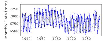
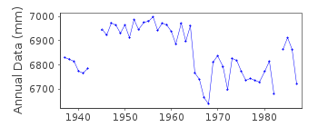
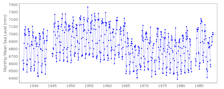
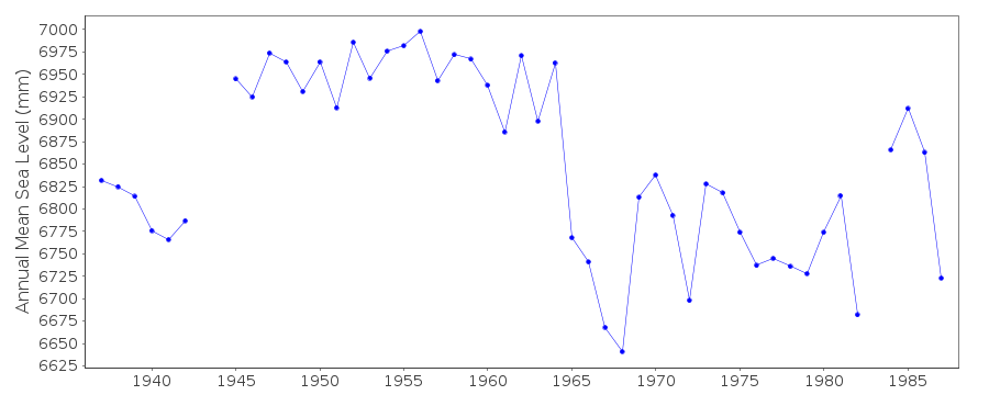
| Time span of data: | 1937 – 1988 |
| Completeness (%): | 95 |
| MTL Data: | 1937-1957 |
| MTL-MSL (mm): | 31 |
| Date of last update: | 27 Jan 2016 |
| Green Arrow: | Current Station |
| Yellow Marker: | Neighbouring RLR Station |
| Red Marker: | Neighbouring Metric Station |
Please note: In many cases, the station position in our database is accurate to only one minute. Thus, the tide gauge may not appear to be on the coast.
Tide Gauge Data
Station Documentation
Link to RLR information.Documentation - date unknown
1937 - 1957 VALUES BASED ON READINGS OF HIGH AND LOW WATERSDocumentation added 1991-06-11
Saugor/Sagar 500/111 RLR(1964) is 9.7m below BM 66/1Saugor/Sagar is an historic station last data 1988
Documentation added 1994-08-04
For a discussion of interannual variability of sea level along the coasts of Pakistan and India, see Clarke and Liu, Journal of Physical Oceanography, 24, 1224, 1994.Documentation added 2002-12-06
SMRC Newsletter Jul-Dec 2001 reports high E coast correlation with SOI and MSL. MSL is much higher during La Nina tropical cyclones than during El Nino.Documentation added 2016-01-12
We have changed the first line above, indicating that the MTL ends in 1957, not 1956 as was previously stated. We have verified that the values in the database are those from Pub. Sci. 20, in which they were indicated as MTL.Documentation added 2016-01-22
A value of MTL-MSL=31 mm has been applied to the RLR data for the period 1937-1957. This value was derived from the average of three differences in the annual MSL and MTL listed for the station in Pub. Sci. 24. Note that no correction has been applied to the metric data.Data Authority
Survey of IndiaGeodetic and Research Branch
17 E.C. Road
Dehra Dun
PIN 248 001

![]()
![]()
![]()
