Data
- Obtaining
- Supplying
- High-Frequency
- Bottom Pressure Records
- Other Long Records
- GLOSS/ODINAFRICA Calibration Data
Donate
Donate to PSMSL
Data Notes
- Individual Station Data and Plot Notes
- Referencing the Data Set
- PSMSL Help File
- 2010 Changes to the PSMSL Data Files
Extracted from Database
13 Jul 2026
Station Information
| Station ID: | 389 |
| Latitude: | 5.35 |
| Longitude: | 5.35 |
| Coastline code: | 420 |
| Station code: | 11 |
| Country: | NIGERIA |
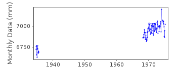
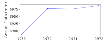
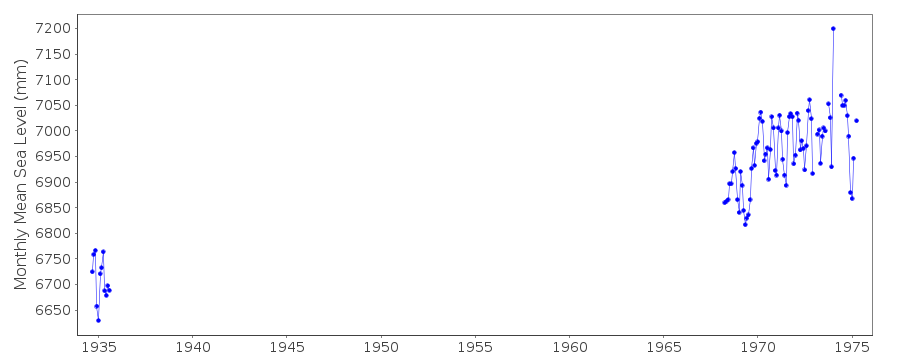
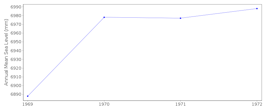
| Time span of data: | 1934 – 1975 |
| Completeness (%): | 18 |
| Date of last update: | 05 Oct 1992 |
| Green Arrow: | Current Station |
| Yellow Marker: | Neighbouring RLR Station |
| Red Marker: | Neighbouring Metric Station |
Please note: In many cases, the station position in our database is accurate to only one minute. Thus, the tide gauge may not appear to be on the coast.
Tide Gauge Data
Station Documentation
Link to RLR information.Documentation - date unknown
JANUARY 1970 - GAUGE RE-SITED AT FORCADOS TERMINAL1968 FEBRUARY VALUE OMITTED-UNUSUALLY LOW, MARCH VALUE OMITTED-INCOMPLETE
Documentation added 1991-06-11
Forcados 420/011 RLR(1972) is 8.3m below BM DET9Documentation added 1992-10-05
VALUES FOR DEC 1973 AND ALL OF 1974 AVAILABLE TO 2 DECIMAL PLACES ONLYNEW GAUGE JULY 1974
Documentation added 1993-07-12
Forcados 420/011 RLR(1972) is 8.3m below BM DET9Forcados is an historic station. Last data 1975
Data Authority
Shell BP Petroleum Development Co. of Nigeria Ltd.Private Mail Bag 2418
Freeman House, 21/22 Marina
Lagos

![]()
![]()
![]()
