Settlement Point
Station Information
| Station ID: |
211 |
| Latitude: |
26.717 |
| Longitude: |
-78.983 |
| Country: |
BAHAMAS |
| Time span of data: |
1985 – 2001 |
| Green Arrow: |
Current Station |
Yellow Marker: |
Nearby Station |
Data Availability
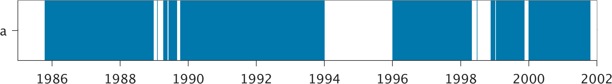
Tide Gauge Data
| Record |
Latitude |
Longitude |
Start date |
End date |
Supplier |
Data |
| a | 26.77 | -78.9967 | 1985-10-18 | 2001-10-22 | 1 | Download |
Data Suppliers
- N.O.A.A. / N.O.S.
N/oes33, Ssmc4, Room 6531
1305 East-West Highway
Silver Spring,
MD 20910
UNITED STATES

