Manado (Bitung)
Station Information
| Station ID: |
69 |
| Latitude: |
1.433 |
| Longitude: |
125.2 |
| Country: |
INDONESIA |
| Time span of data: |
1986 – 1990 |
| Green Arrow: |
Current Station |
Yellow Marker: |
Nearby Station |
Data Availability
Tide Gauge Data
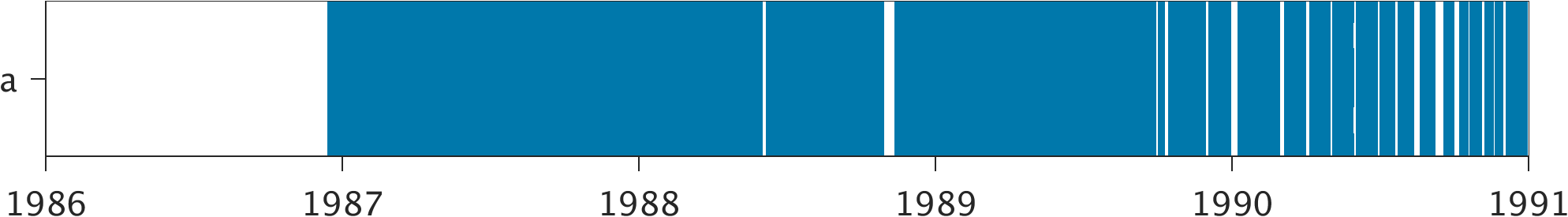
| Record |
Latitude |
Longitude |
Start date |
End date |
Supplier |
Data |
| a | 1.44 | 125.1933 | 1986-12-14 | 1990-12-30 | 1 | Download |
Data Suppliers
- University of Hawaii
Department of Oceanography Division of Natural Sciences
1000 Pope Road
Honolulu
Hawaii 96822
UNITED STATES

