Pointe La Rue
Station Information
| Station ID: |
339 |
| Latitude: |
-4.672 |
| Longitude: |
55.527 |
| Country: |
SEYCHELLES |
| Time span of data: |
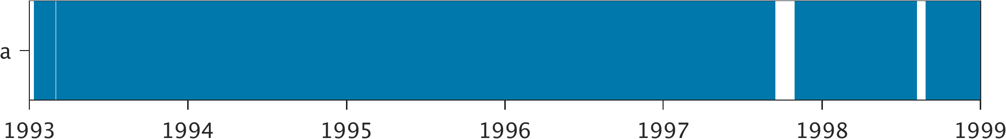
1993 – 1998 |
| Green Arrow: |
Current Station |
Yellow Marker: |
Nearby Station |
Data Availability
Tide Gauge Data
| Record |
Latitude |
Longitude |
Start date |
End date |
Supplier |
Data |
| a | -4.6717 | 55.5283 | 1993-01-11 | 1998-12-31 | 1 | Download |
Data Suppliers
- University of Hawaii
Department of Oceanography Division of Natural Sciences
1000 Pope Road
Honolulu
Hawaii 96822
UNITED STATES

