Penrhyn
Station Information
| Station ID: |
143 |
| Latitude: |
-8.59 |
| Longitude: |
-158.067 |
| Country: |
COOK ISLANDS |
| Time span of data: |
1977 – 1998 |
| Green Arrow: |
Current Station |
Yellow Marker: |
Nearby Station |
Data Availability
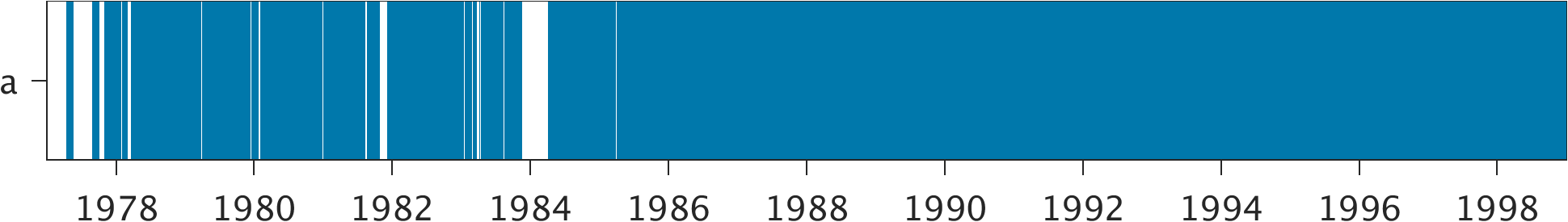
Tide Gauge Data
| Record |
Latitude |
Longitude |
Start date |
End date |
Supplier |
Data |
| a | -8.9767 | -158.0533 | 1977-04-16 | 1998-12-31 | 1 | Download |
Data Suppliers
- University of Hawaii
Department of Oceanography Division of Natural Sciences
1000 Pope Road
Honolulu
Hawaii 96822
UNITED STATES

